
Maps
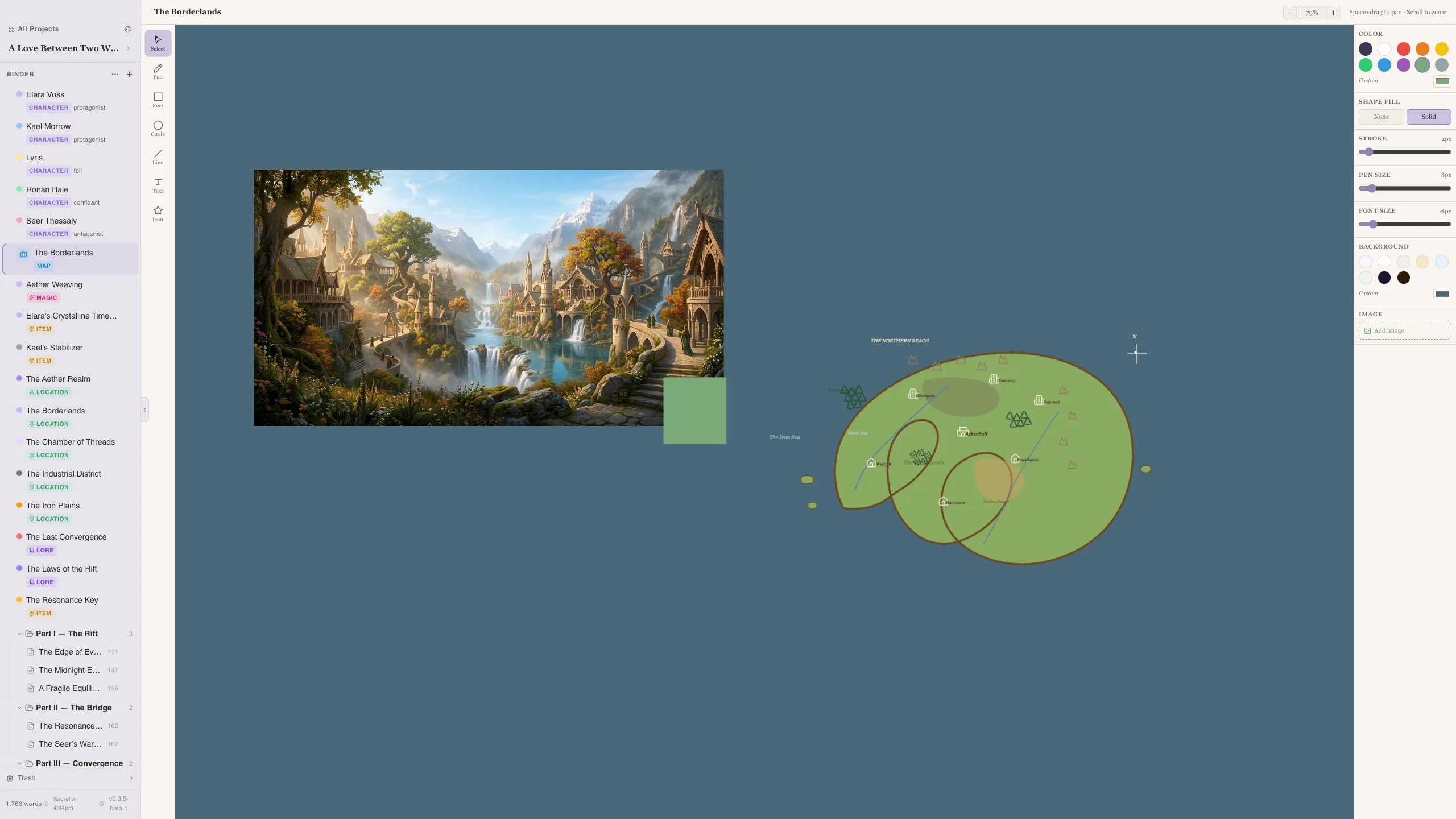
The Maps feature is the legacy 2D map editor. It is still available for flat maps, imported map art, floor plans, city layouts, and annotations.
For a sculptable terrain view with land and ocean tiles, landmarks, labels, and story pins, use the 3D World Builder.
Creating a Map
Section titled “Creating a Map”- Go to the Maps section in the sidebar
- Click + New Map
- Give it a name and start creating
The Map Editor
Section titled “The Map Editor”The editor is built on a canvas (Fabric.js) that supports:
- Background images — Upload a map image as the base layer
- Background colors — Set a solid background color
- Drawing tools — Add elements on top of your base map
Saving
Section titled “Saving”Maps are automatically saved as you work. The canvas state is stored as part of your project data.
Use Cases
Section titled “Use Cases”- Draw or annotate a 2D map of your fantasy world
- Upload an existing map image and annotate it
- Create floor plans for important locations
- Map out a city’s districts and landmarks
- Start with a background image if you have one, then annotate on top
- Use maps alongside your Location codex entries for a complete picture
- Create multiple maps for different scales — world map, region map, city map
- Use the 3D builder for terrain and spatial visualization; use 2D maps when you need a flat reference image